Red Rock Pass
|
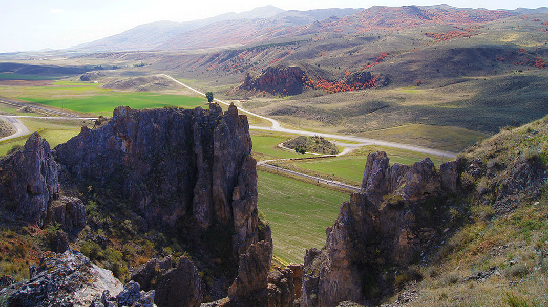
The ancient dam at the north end of former Lake Bonneville.
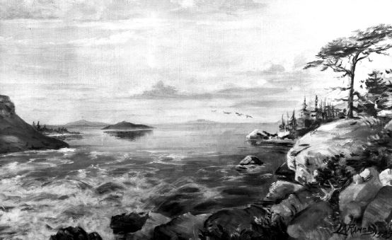
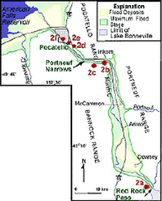
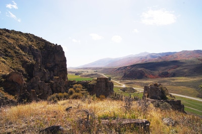
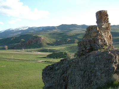
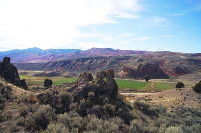
Red Rock Pass was cut through a sill of resistant Paleozoic shale, limestone, and dolomite, and forms a narrow gap two miles long. At one time the pass was at the shoreline of Pleistocene Lake Bonneville, 300 feet higher. Lava flows in the vicinity of Pocatello diverted the Bear River through Lake Thatcher into Lake Bonneville. The sudden influx caused Bonneville to overflow at Red Rock. Marsh Creek Valley, immediately downstream, was flooded from wall to wall, and the rapid discharge eroded the pass to its present level. The Bonneville Flood, as it isknown, was catastrophic. Maximum discharge as about 15 million cfs, or about three times the average flow of the Amazon, the world's largest river. The rate of flow was approximately sixteen-mph, and though peak flow lasted only a few days, voluminous discharges may have continued for at least a year. Red Rock pass attracts geological groups from miles around, to study the remains of the great forces on nature. (Written by Darrel La Mar Wakley) (Right -Artist L.A. Ramsey's interpretation of Lake Bonneville flooding through Red Rock Pass.) |
|
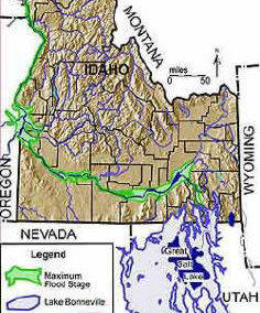
Lake Bonneville and the flood path. Learn more on the ISU Digital Atlas website.
|
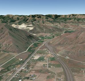
Portneuf Narrows, a canyon 45 miles northwest of Red Rock Pass, where the flood is estimated to have reached a height of 400 feet.
|
Photo Gallery
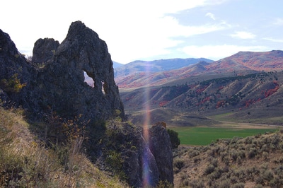
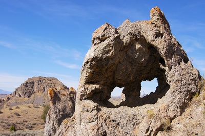
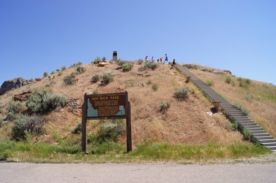
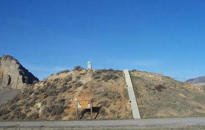
Red Rock Pass is a beautiful and interesting place though many people drive right through it and hardly notice it. One must stop and walk around to appreciate what an amazing place it is. Only the hill with the monument on it is on public land. Please respect the surrounding land owner's rights and stay on the roads. This area is known to have numerous rattlesnakes and the cliffs are dangerous. Watch Outdoor Idaho's Video.
Red Rock Pass is a beautiful and interesting place though many people drive right through it and hardly notice it. One must stop and walk around to appreciate what an amazing place it is. Only the hill with the monument on it is on public land. Please respect the surrounding land owner's rights and stay on the roads. This area is known to have numerous rattlesnakes and the cliffs are dangerous. Watch Outdoor Idaho's Video.
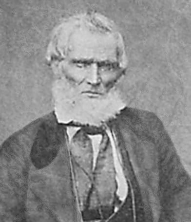
Pioneers and Charles Jefferson Hunt
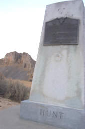
This Monument is in memory of Charles Jefferson Hunt who served in the Mormon Battalion. He is buried behind Red Rock in a small cemetery along with his family and other pioneers.
The following inscription appears there: "Captain Jefferson Hunt, soldier, pioneer, and churchman. Born January 20, 1804 in Kentucky. Died May 11, 1879 in Idaho. Charles Jefferson Hunt served in the Mormon Battalion as captain of company A and as assistant executive officer in its historic march from Council Bluffs Iowa to San Diego, California 1846-1847. His service on the commendation of all whom served with him. Under appointment by President Brigham Young in 1851, Captain Hunt was guide for the pioneers to San Bernardino, California. His pioneering services also included Provo, Parawan, and Huntsville {which bears his name} in Utah and Oxford, Idaho. A convert to the Church of Jesus Christ of Latter Day Saints, he was loyal, obedient, and faithful to the end."
Read Jefferson Hunt's complete history on Roots Web.
Resources
Download a printable history of Red Rock Pass (PDF)
Idaho State University's Digital Atlas
Lake Bonneville Flood - Great map of the lake and floodplain with links to learning materials.
What was the Lake Bonneville Flood - Aerial view looking north at Red Rock Pass and description.
The Lake Bonneville Flood - History and map of Lake Bonneville.
Teacher Resources
Imagining the Lake Bonneville Flood - Suggested grade levels: 1-8 with handouts.
Path Map for the Lake Bonneville Flood - Suggested grade levels: 7-10 with handouts.
Commonly Asked Questions About Utah's Great Salt Lake and Ancient Lake Bonneville by J. Wallace Gwynn
